Tollhouse
Introduction
The photograph on this page of Tollhouse by Paul Barnett as part of the Geograph project.
The Geograph project started in 2005 with the aim of publishing, organising and preserving representative images for every square kilometre of Great Britain, Ireland and the Isle of Man.

There are currently over 7.5m images from over 14,400 individuals and you can help contribute to the project by visiting https://www.geograph.org.uk
Tollhouse
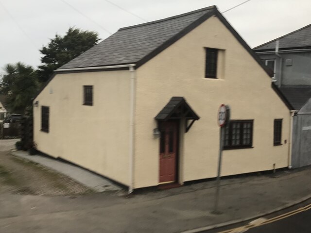
Image: © Paul Barnett Taken: 22 Jan 2023
Located in Connor Downs on the northeast side of the junction of Connor Hill and Mutton Hill in Gwinear Gwithian parish (Kerrier district). Milestone Society National ID: CW.GWI
Images are licensed for reuse under creativecommons.org/licenses/by-sa/2.0
Image Location
Latitude
50.203704
Longitude
-5.376