
Bridleway at Clint
Introduction
The photograph on this page of Bridleway at Clint by Gordon Hatton as part of the Geograph project.
The Geograph project started in 2005 with the aim of publishing, organising and preserving representative images for every square kilometre of Great Britain, Ireland and the Isle of Man.

There are currently over 7.5m images from over 14,400 individuals and you can help contribute to the project by visiting https://www.geograph.org.uk
Bridleway at Clint
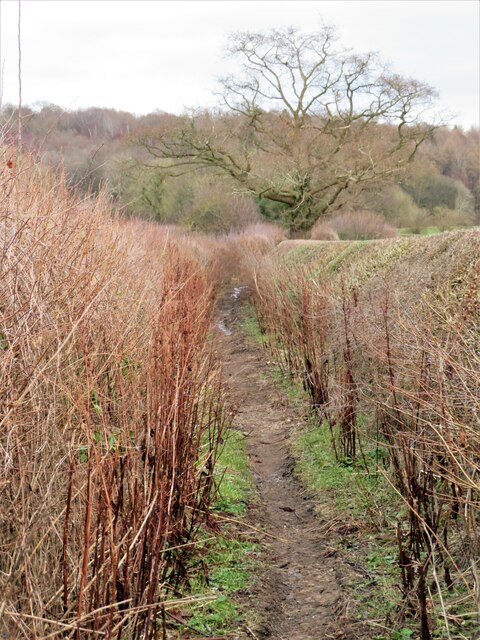
Image: © Gordon Hatton Taken: 20 Jan 2023
Now a public bridleway between hedges leading from the road near Hampsthwaite Bridge towards Ripley, but once part of the medieval main road from York to Lancaster. The road followed much of the course of the modern A59 between York and Knaresborough, which was an important town, unlike neighbouring Harrogate which hardly existed, but from Knaresborough the route led directly to Ripley and then along what is now Hollybank Lane to this point. The ancient bridge [shown as 'Hamsworth Bridg' on John Ogilby's map of 1675, and just below the hamlet of 'Clynte'] made a second crossing of the Nidd possible, before the road headed towards Blubberhouses and Skipton.
Images are licensed for reuse under creativecommons.org/licenses/by-sa/2.0
Image Location

Latitude
54.031883
Longitude
-1.59417