Access to Hawley Farm Open Space
Introduction
The photograph on this page of Access to Hawley Farm Open Space by Fernweh as part of the Geograph project.
The Geograph project started in 2005 with the aim of publishing, organising and preserving representative images for every square kilometre of Great Britain, Ireland and the Isle of Man.

There are currently over 7.5m images from over 14,400 individuals and you can help contribute to the project by visiting https://www.geograph.org.uk
Access to Hawley Farm Open Space
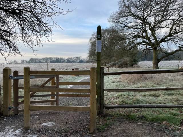
Image: © Fernweh Taken: 19 Jan 2023
A recently created public park out of land that was once part of Hawley Park Farm.
Images are licensed for reuse under creativecommons.org/licenses/by-sa/2.0
Image Location
Latitude
51.321755
Longitude
-0.770257