Hareplain Road
Introduction
The photograph on this page of Hareplain Road by Marathon as part of the Geograph project.
The Geograph project started in 2005 with the aim of publishing, organising and preserving representative images for every square kilometre of Great Britain, Ireland and the Isle of Man.

There are currently over 7.5m images from over 14,400 individuals and you can help contribute to the project by visiting https://www.geograph.org.uk
Hareplain Road
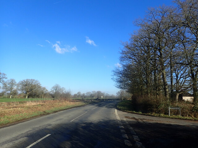
Image: © Marathon Taken: 21 Jan 2023
The lane leading away from Hareplain Road on the right used to have a name but all the road names have been removed - see Street View image https://www.google.co.uk/maps/@51.1285887,0.6202655,3a,75y,147.26h,90.25t/data=!3m7!1e1!3m5!1soUUmsStF13_O7VGK1QJr7g!2e0!6shttps:%2F%2Fstreetviewpixels-pa.googleapis.com%2Fv1%2Fthumbnail%3Fpanoid%3DoUUmsStF13_O7VGK1QJr7g%26cb_client%3Dmaps_sv.tactile.gps%26w%3D203%26h%3D100%26yaw%3D89.256615%26pitch%3D0%26thumbfov%3D100!7i16384!8i8192
Images are licensed for reuse under creativecommons.org/licenses/by-sa/2.0
Image Location


Leaflet Map data © OpenStreetMap
Latitude
51.128724
Longitude
0.620521