Vew of ancient path from Eagley Bank to Blackburn Road
Introduction
The photograph on this page of Vew of ancient path from Eagley Bank to Blackburn Road by Earnest Lad as part of the Geograph project.
The Geograph project started in 2005 with the aim of publishing, organising and preserving representative images for every square kilometre of Great Britain, Ireland and the Isle of Man.

There are currently over 7.5m images from over 14,400 individuals and you can help contribute to the project by visiting https://www.geograph.org.uk
Vew of ancient path from Eagley Bank to Blackburn Road
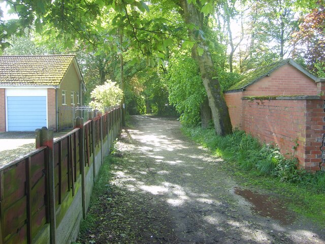
Image: © Earnest Lad Taken: 30 Sep 2006
View westwards of footpath that runs from Playfair Street/The Gardens towards Makants Farm and Blackburn Road (A666).
Images are licensed for reuse under creativecommons.org/licenses/by-sa/2.0
Image Location
Latitude
53.611875
Longitude
-2.430739