Nuthampstead: Bull's Farm
Introduction
The photograph on this page of Nuthampstead: Bull's Farm by John Sutton as part of the Geograph project.
The Geograph project started in 2005 with the aim of publishing, organising and preserving representative images for every square kilometre of Great Britain, Ireland and the Isle of Man.

There are currently over 7.5m images from over 14,400 individuals and you can help contribute to the project by visiting https://www.geograph.org.uk
Nuthampstead: Bull's Farm
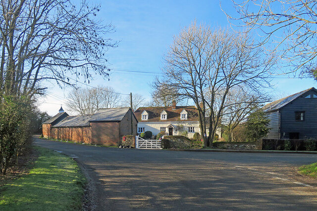
Image: © John Sutton Taken: 17 Jan 2023
The Grade II listing text for the farmhouse begins "Mid C17, altered and extended C20. Timber frame. Rendered. Steeply pitched half-hipped tiled roof."
Images are licensed for reuse under creativecommons.org/licenses/by-sa/2.0
Image Location
Latitude
51.992543
Longitude
0.05465