The Cumbria Way, Fell Side
Introduction
The photograph on this page of The Cumbria Way, Fell Side by Adrian Taylor as part of the Geograph project.
The Geograph project started in 2005 with the aim of publishing, organising and preserving representative images for every square kilometre of Great Britain, Ireland and the Isle of Man.

There are currently over 7.5m images from over 14,400 individuals and you can help contribute to the project by visiting https://www.geograph.org.uk
The Cumbria Way, Fell Side
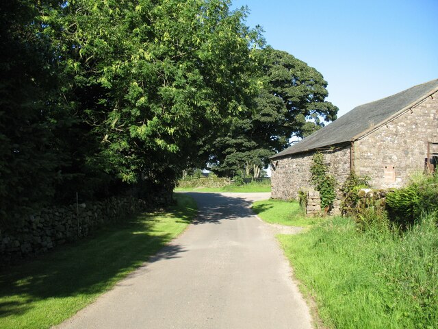
Image: © Adrian Taylor Taken: 17 Aug 2016
Fell Side is a small farming community at the northernmost edge of the Lake District fells. It is on the route of The Cumbria Way low level alternative route from Skiddaw House to Nether Row (next photograph Image).
Images are licensed for reuse under creativecommons.org/licenses/by-sa/2.0
Image Location


Leaflet Map data © OpenStreetMap
Latitude
54.72726
Longitude
-3.082398