Flush Bracket, Belfast
Introduction
The photograph on this page of Flush Bracket, Belfast by Rossographer as part of the Geograph project.
The Geograph project started in 2005 with the aim of publishing, organising and preserving representative images for every square kilometre of Great Britain, Ireland and the Isle of Man.

There are currently over 7.5m images from over 14,400 individuals and you can help contribute to the project by visiting https://www.geograph.org.uk
Flush Bracket, Belfast
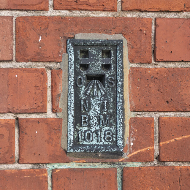
Image: © Rossographer Taken: 18 Jan 2023
Flush bracket bench mark on the front of the former Everton Public Elementary school on the Crumlin Road in Belfast (now part of a large Health and Social Care complex). The number on the bracket is OSNIBM 1018. Placed here in the 1930s, the mark only seems to appear on the 1938 plan of Belfast, levelled to 233.8 feet above sea level - unusually, I can't see it on any later maps.
Images are licensed for reuse under creativecommons.org/licenses/by-sa/2.0
Image Location
Latitude
54.61566
Longitude
-5.967691