Hillside near Nashway Farm
Introduction
The photograph on this page of Hillside near Nashway Farm by Bill Boaden as part of the Geograph project.
The Geograph project started in 2005 with the aim of publishing, organising and preserving representative images for every square kilometre of Great Britain, Ireland and the Isle of Man.

There are currently over 7.5m images from over 14,400 individuals and you can help contribute to the project by visiting https://www.geograph.org.uk
Hillside near Nashway Farm
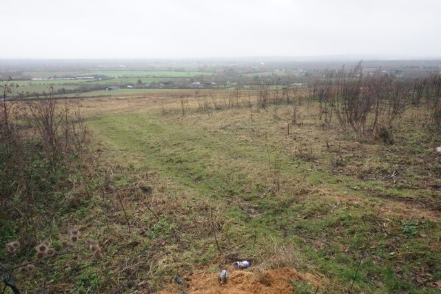
Image: © Bill Boaden Taken: 27 Dec 2022
A dull wet December day has restricted the view. You can see down to the houses of Oakley. The discarded cans in the foreground are evidence of the nearby track where cars can stop.
Images are licensed for reuse under creativecommons.org/licenses/by-sa/2.0
Image Location
Latitude
51.81251
Longitude
-1.060707