National Cycle Route waymark
Introduction
The photograph on this page of National Cycle Route waymark by Adrian Taylor as part of the Geograph project.
The Geograph project started in 2005 with the aim of publishing, organising and preserving representative images for every square kilometre of Great Britain, Ireland and the Isle of Man.

There are currently over 7.5m images from over 14,400 individuals and you can help contribute to the project by visiting https://www.geograph.org.uk
National Cycle Route waymark
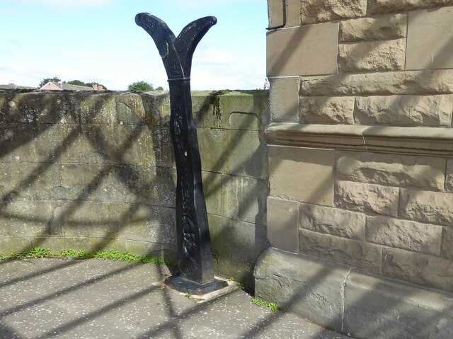
Image: © Adrian Taylor Taken: 29 Aug 2020
National Cycle Network Route 1 waymark at the front of Arbroath Station. There is an Ordnance Survey cut benchmark on the plinth of the adjacent station wall (detail photograph Image).
Images are licensed for reuse under creativecommons.org/licenses/by-sa/2.0
Image Location
Latitude
56.559236
Longitude
-2.589658