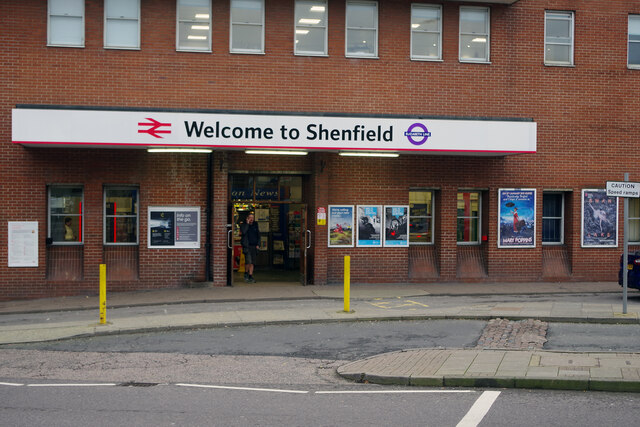
Shenfield Station
Introduction
The photograph on this page of Shenfield Station by Stephen McKay as part of the Geograph project.
The Geograph project started in 2005 with the aim of publishing, organising and preserving representative images for every square kilometre of Great Britain, Ireland and the Isle of Man.
There are currently over 7.5m images from over 14,400 individuals and you can help contribute to the project by visiting https://www.geograph.org.uk

Image: © Stephen McKay Taken: 11 Jan 2023
Shenfield is no more than a suburb of Brentwood but has long been the outer terminus for suburban trains from Liverpool Street. Electrification had been planned in the 1930s but the Second World War delayed implementation until 1949; it came to be seen as one of the most important infrastructure schemes of the immediate post-war period - the showpiece of a new Britain. In more recent times the station has become the eastern end of the Elizabeth Line with, by the time of this photograph, trains running through to Paddington - which is why the canopy incorporates the Transport for London roundel.

