Priest's Lane/Friar's Avenue Junction, Shenfield
Introduction
The photograph on this page of Priest's Lane/Friar's Avenue Junction, Shenfield by Stephen McKay as part of the Geograph project.
The Geograph project started in 2005 with the aim of publishing, organising and preserving representative images for every square kilometre of Great Britain, Ireland and the Isle of Man.

There are currently over 7.5m images from over 14,400 individuals and you can help contribute to the project by visiting https://www.geograph.org.uk
Priest's Lane/Friar's Avenue Junction, Shenfield
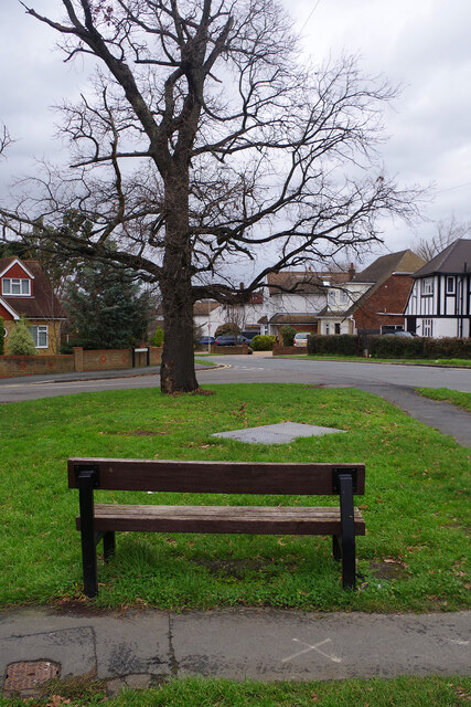
Image: © Stephen McKay Taken: 11 Jan 2023
Priest's Lane takes a right angled turn here and the road straight on is Friar's Avenue leading towards the centre of Shenfield. A bench is provided for those wishing to contemplate the scene.
Images are licensed for reuse under creativecommons.org/licenses/by-sa/2.0
Image Location
Latitude
51.625376
Longitude
0.325105