The northern end of Span Green
Introduction
The photograph on this page of The northern end of Span Green by Bill Boaden as part of the Geograph project.
The Geograph project started in 2005 with the aim of publishing, organising and preserving representative images for every square kilometre of Great Britain, Ireland and the Isle of Man.

There are currently over 7.5m images from over 14,400 individuals and you can help contribute to the project by visiting https://www.geograph.org.uk
The northern end of Span Green
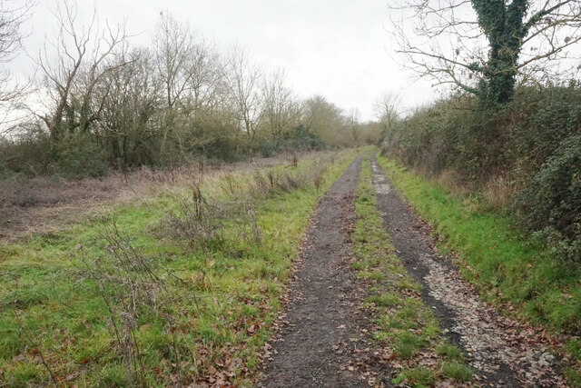
Image: © Bill Boaden Taken: 27 Dec 2022
Northward from the car park in Image, the green lane is a proper dry track, which is a welcome improvement on the mud at the southern end.
Images are licensed for reuse under creativecommons.org/licenses/by-sa/2.0
Image Location
Latitude
51.820392
Longitude
-1.068233