East End Stables
Introduction
The photograph on this page of East End Stables by Bill Nicholls as part of the Geograph project.
The Geograph project started in 2005 with the aim of publishing, organising and preserving representative images for every square kilometre of Great Britain, Ireland and the Isle of Man.

There are currently over 7.5m images from over 14,400 individuals and you can help contribute to the project by visiting https://www.geograph.org.uk
East End Stables
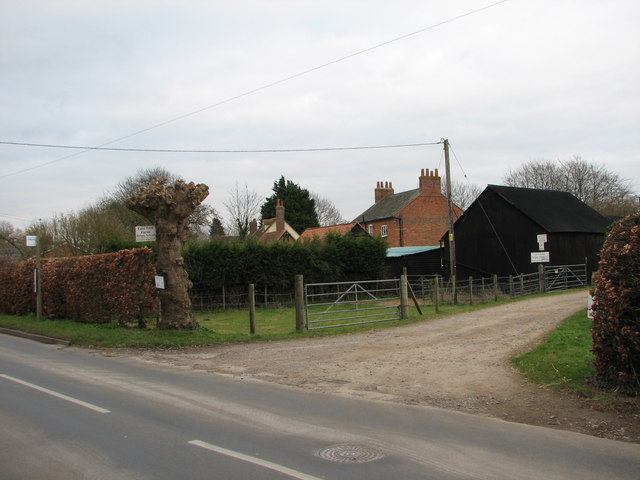
Image: © Bill Nicholls Taken: 6 Mar 2008
East end stables or riding school, not sure if it is still that though. The houses in the background are on a different line to the Wallingford road as, following what was the old road into Cholsey, as I said before, you are looking at the back of them.
Images are licensed for reuse under creativecommons.org/licenses/by-sa/2.0
Image Location
Latitude
51.577153
Longitude
-1.148255