St. Michael's, Seavington St. Michael, Somerset
Introduction
The photograph on this page of St. Michael's, Seavington St. Michael, Somerset by Ray Jennings as part of the Geograph project.
The Geograph project started in 2005 with the aim of publishing, organising and preserving representative images for every square kilometre of Great Britain, Ireland and the Isle of Man.

There are currently over 7.5m images from over 14,400 individuals and you can help contribute to the project by visiting https://www.geograph.org.uk
St. Michael's, Seavington St. Michael, Somerset
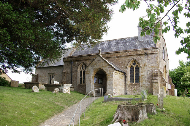
Image: © Ray Jennings Taken: 14 Jun 2010
Dating from the late 12th Century, alterations and additions were made in both the 15th and 19th Centuries.
Images are licensed for reuse under creativecommons.org/licenses/by-sa/2.0
Image Location
Latitude
50.930969
Longitude
-2.840786