Pentre Bancyfelin / Bancyfelin village
Introduction
The photograph on this page of Pentre Bancyfelin / Bancyfelin village by Alan Richards as part of the Geograph project.
The Geograph project started in 2005 with the aim of publishing, organising and preserving representative images for every square kilometre of Great Britain, Ireland and the Isle of Man.

There are currently over 7.5m images from over 14,400 individuals and you can help contribute to the project by visiting https://www.geograph.org.uk
Pentre Bancyfelin / Bancyfelin village
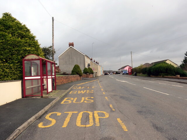
Image: © Alan Richards Taken: 13 Jan 2023
Arhosfa bysys ym mhentre Bancyfelin. A bus stop in the village of Bancyfelin (trans. bank of the mill).
Images are licensed for reuse under creativecommons.org/licenses/by-sa/2.0
Image Location
Latitude
51.834264
Longitude
-4.43635