Farmland, Cradle Barn
Introduction
The photograph on this page of Farmland, Cradle Barn by Derek Harper as part of the Geograph project.
The Geograph project started in 2005 with the aim of publishing, organising and preserving representative images for every square kilometre of Great Britain, Ireland and the Isle of Man.

There are currently over 7.5m images from over 14,400 individuals and you can help contribute to the project by visiting https://www.geograph.org.uk
Farmland, Cradle Barn
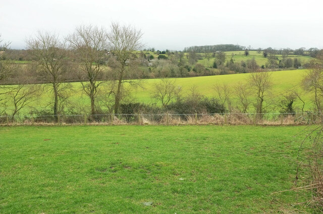
Image: © Derek Harper Taken: 9 Feb 2022
Looking the other way from close to the farmyard shown in Image Across the Swere valley can be seen houses at the East End of Swerford.
Images are licensed for reuse under creativecommons.org/licenses/by-sa/2.0
Image Location


Leaflet Map data © OpenStreetMap
Latitude
51.983301
Longitude
-1.453489