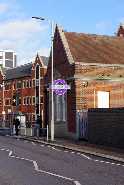
Brentwood Station
Introduction
The photograph on this page of Brentwood Station by Stephen McKay as part of the Geograph project.
The Geograph project started in 2005 with the aim of publishing, organising and preserving representative images for every square kilometre of Great Britain, Ireland and the Isle of Man.
There are currently over 7.5m images from over 14,400 individuals and you can help contribute to the project by visiting https://www.geograph.org.uk

Image: © Stephen McKay Taken: 11 Jan 2023
Brentwood station displays Transport for London's (TfL) Elizabeth Line roundel and services now operate right though the central section to Paddington. Brentwood is outside Greater London but transport networks do not neatly fit with political boundaries (and of course never have). The Elizabeth Line has taken TfL's rail operations into new areas, although in this case suburban services have been operated under the TfL Rail brand for some years. It is not entirely a new thing at Brentwood; at one time London Transport ran a Green Line bus service from central London out here.

