Crescent Road, Warley
Introduction
The photograph on this page of Crescent Road, Warley by Stephen McKay as part of the Geograph project.
The Geograph project started in 2005 with the aim of publishing, organising and preserving representative images for every square kilometre of Great Britain, Ireland and the Isle of Man.

There are currently over 7.5m images from over 14,400 individuals and you can help contribute to the project by visiting https://www.geograph.org.uk
Crescent Road, Warley
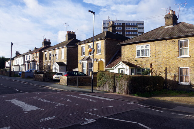
Image: © Stephen McKay Taken: 11 Jan 2023
Crescent Road was laid out in 1859 at the beginning of Brentwood's residential expansion south of the railway. These fine looking villas are conveniently located for the station.
Images are licensed for reuse under creativecommons.org/licenses/by-sa/2.0
Image Location
Latitude
51.612861
Longitude
0.298465