Bridleway near Cradle House Farm
Introduction
The photograph on this page of Bridleway near Cradle House Farm by Derek Harper as part of the Geograph project.
The Geograph project started in 2005 with the aim of publishing, organising and preserving representative images for every square kilometre of Great Britain, Ireland and the Isle of Man.

There are currently over 7.5m images from over 14,400 individuals and you can help contribute to the project by visiting https://www.geograph.org.uk
Bridleway near Cradle House Farm
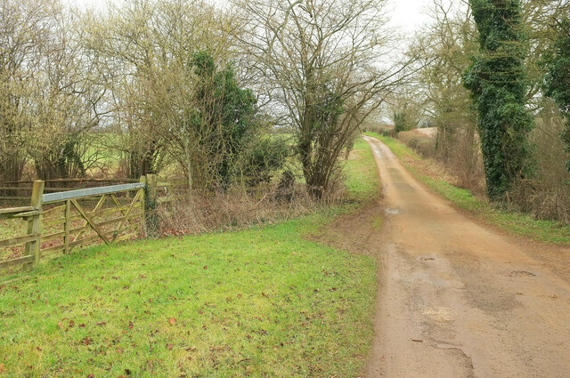
Image: © Derek Harper Taken: 9 Feb 2022
Bridleway 253 23/60 following the track from Cradle Farm towards Swerford.
Images are licensed for reuse under creativecommons.org/licenses/by-sa/2.0
Image Location
Latitude
51.989423
Longitude
-1.455162