Dualling nearly complete
Introduction
The photograph on this page of Dualling nearly complete by Graham Horn as part of the Geograph project.
The Geograph project started in 2005 with the aim of publishing, organising and preserving representative images for every square kilometre of Great Britain, Ireland and the Isle of Man.

There are currently over 7.5m images from over 14,400 individuals and you can help contribute to the project by visiting https://www.geograph.org.uk
Dualling nearly complete
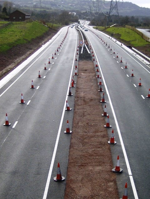
Image: © Graham Horn Taken: 21 Mar 2008
Looking north-west from the new farm access bridge. The old access was from the hut on the left to the first pylon on the right. The carriageway is nearly complete but subject to single lane working and a 30mph speed limit, observed by some much more rigorously than others as can be seen by the queues.
Images are licensed for reuse under creativecommons.org/licenses/by-sa/2.0
Image Location
Latitude
51.819754
Longitude
-3.049759