Road to Baldernock
Introduction
The photograph on this page of Road to Baldernock by Stephen McKay as part of the Geograph project.
The Geograph project started in 2005 with the aim of publishing, organising and preserving representative images for every square kilometre of Great Britain, Ireland and the Isle of Man.

There are currently over 7.5m images from over 14,400 individuals and you can help contribute to the project by visiting https://www.geograph.org.uk
Road to Baldernock
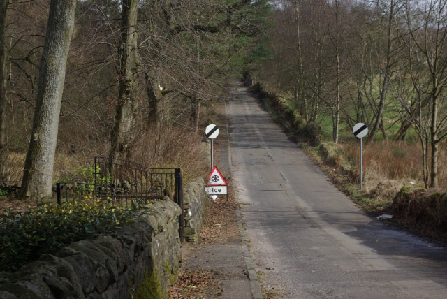
Image: © Stephen McKay Taken: 19 Mar 2008
The sign warning of ice seems superfluous given that traffic will already have negotiated the steep climb out of Milngavie followed by a steep drop to reach this point.
Images are licensed for reuse under creativecommons.org/licenses/by-sa/2.0
Image Location
Latitude
55.942287
Longitude
-4.306068