Hook Norton Brook valley
Introduction
The photograph on this page of Hook Norton Brook valley by Derek Harper as part of the Geograph project.
The Geograph project started in 2005 with the aim of publishing, organising and preserving representative images for every square kilometre of Great Britain, Ireland and the Isle of Man.

There are currently over 7.5m images from over 14,400 individuals and you can help contribute to the project by visiting https://www.geograph.org.uk
Hook Norton Brook valley
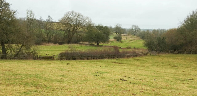
Image: © Derek Harper Taken: 9 Feb 2022
From the bridleway shown in Image], looking back to the left, with larger trees marking the course of the stream.
Images are licensed for reuse under creativecommons.org/licenses/by-sa/2.0
Image Location
Latitude
51.9933
Longitude
-1.457737