Dualling nearly complete
Introduction
The photograph on this page of Dualling nearly complete by Graham Horn as part of the Geograph project.
The Geograph project started in 2005 with the aim of publishing, organising and preserving representative images for every square kilometre of Great Britain, Ireland and the Isle of Man.

There are currently over 7.5m images from over 14,400 individuals and you can help contribute to the project by visiting https://www.geograph.org.uk
Dualling nearly complete
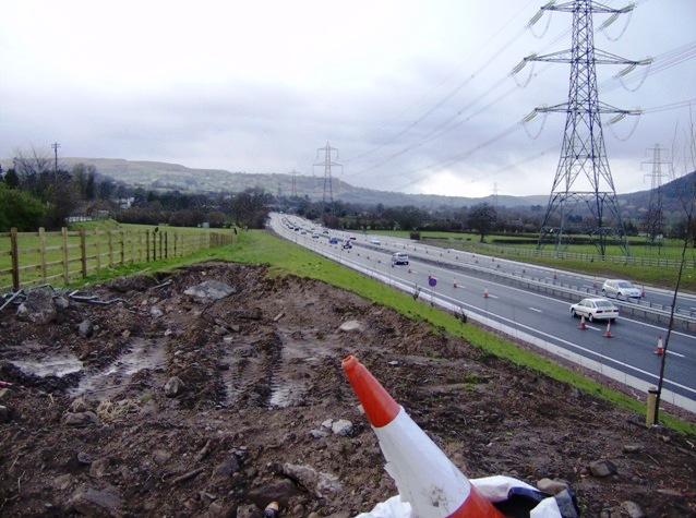
Image: © Graham Horn Taken: 21 Mar 2008
Looking north-west from the site of the old bridge to Cadfor Farm. The dualling of the A465 is nearly complete, but the carriageway restrictions still remain.
Images are licensed for reuse under creativecommons.org/licenses/by-sa/2.0
Image Location
Latitude
51.819728
Longitude
-3.05266