Bromley Farmhouse (Upper Arley)
Introduction
The photograph on this page of Bromley Farmhouse (Upper Arley) by Fabian Musto as part of the Geograph project.
The Geograph project started in 2005 with the aim of publishing, organising and preserving representative images for every square kilometre of Great Britain, Ireland and the Isle of Man.

There are currently over 7.5m images from over 14,400 individuals and you can help contribute to the project by visiting https://www.geograph.org.uk
Bromley Farmhouse (Upper Arley)
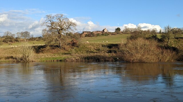
Image: © Fabian Musto Taken: 2 Jan 2023
The farmhouse in the distance was built in the mid-eighteenth century with late-twentieth century alterations. Grade II listed in March 1987, the moon can faintly be seen to the north-east of the farmhouse. Viewed from the Severn Way long-distance footpath, with the River Severn in the foreground.
Images are licensed for reuse under creativecommons.org/licenses/by-sa/2.0
Image Location
Latitude
52.428242
Longitude
-2.357039