Blocked Stile
Introduction
The photograph on this page of Blocked Stile by Adrian Taylor as part of the Geograph project.
The Geograph project started in 2005 with the aim of publishing, organising and preserving representative images for every square kilometre of Great Britain, Ireland and the Isle of Man.

There are currently over 7.5m images from over 14,400 individuals and you can help contribute to the project by visiting https://www.geograph.org.uk
Blocked Stile
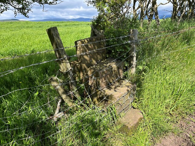
Image: © Adrian Taylor Taken: 31 May 2022
Near The Warren, this stile on the public footpath from Crossleys to Moss Side and Tarn How has been illegally blocked by fencing and barbed wire.
Images are licensed for reuse under creativecommons.org/licenses/by-sa/2.0
Image Location
Latitude
54.403027
Longitude
-3.443096