End of bridleway at Forge Side Road
Introduction
The photograph on this page of End of bridleway at Forge Side Road by M J Roscoe as part of the Geograph project.
The Geograph project started in 2005 with the aim of publishing, organising and preserving representative images for every square kilometre of Great Britain, Ireland and the Isle of Man.

There are currently over 7.5m images from over 14,400 individuals and you can help contribute to the project by visiting https://www.geograph.org.uk
End of bridleway at Forge Side Road
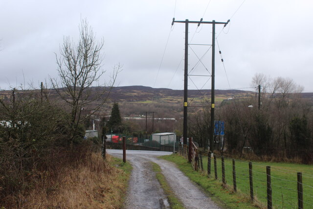
Image: © M J Roscoe Taken: 6 Jan 2023
The path goes up behind the camera to the top of Coety Mountain.
Images are licensed for reuse under creativecommons.org/licenses/by-sa/2.0
Image Location
Latitude
51.769903
Longitude
-3.093383