Drainage and new homes
Introduction
The photograph on this page of Drainage and new homes by Andrew Abbott as part of the Geograph project.
The Geograph project started in 2005 with the aim of publishing, organising and preserving representative images for every square kilometre of Great Britain, Ireland and the Isle of Man.

There are currently over 7.5m images from over 14,400 individuals and you can help contribute to the project by visiting https://www.geograph.org.uk
Drainage and new homes
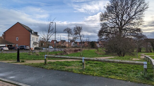
Image: © Andrew Abbott Taken: 6 Jan 2023
Drainage features towards Rad Brook at new housing development (built c. 2015) just off Squinter Pip Way.
Images are licensed for reuse under creativecommons.org/licenses/by-sa/2.0
Image Location
Latitude
52.705413
Longitude
-2.79738