Start of byway from Cantlop to Cantlop Mill
Introduction
The photograph on this page of Start of byway from Cantlop to Cantlop Mill by Rob Bainbridge as part of the Geograph project.
The Geograph project started in 2005 with the aim of publishing, organising and preserving representative images for every square kilometre of Great Britain, Ireland and the Isle of Man.

There are currently over 7.5m images from over 14,400 individuals and you can help contribute to the project by visiting https://www.geograph.org.uk
Start of byway from Cantlop to Cantlop Mill
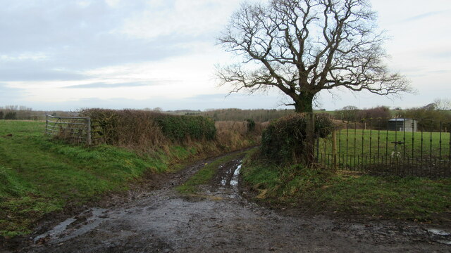
Image: © Rob Bainbridge Taken: 6 Jan 2023
Start of byway from Cantlop to Cantlop Mill, nice iron gate to field entrance on the right
Images are licensed for reuse under creativecommons.org/licenses/by-sa/2.0
Image Location
Latitude
52.648164
Longitude
-2.710018