Bar Lane, Sharples
Introduction
The photograph on this page of Bar Lane, Sharples by philandju as part of the Geograph project.
The Geograph project started in 2005 with the aim of publishing, organising and preserving representative images for every square kilometre of Great Britain, Ireland and the Isle of Man.

There are currently over 7.5m images from over 14,400 individuals and you can help contribute to the project by visiting https://www.geograph.org.uk
Bar Lane, Sharples
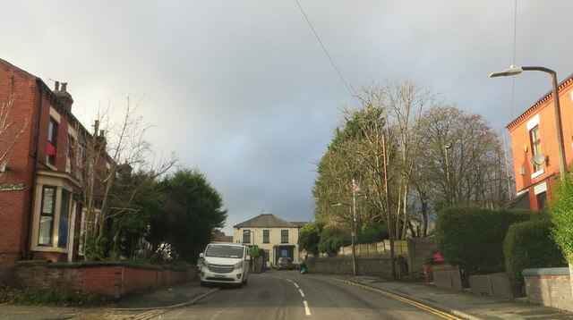
Image: © philandju Taken: 6 Jan 2023
Bar Lane runs between Blackburn Road (A666) and Belmont Road (A675). The A666 was a turnpike road connecting Bolton with Blackburn and it is thought that there was a toll bar at the junction of the A666 and Bar Lane - hence the name.
Images are licensed for reuse under creativecommons.org/licenses/by-sa/2.0
Image Location
Latitude
53.605031
Longitude
-2.434296