Trafford Building, 2010
Introduction
The photograph on this page of Trafford Building, 2010 by Robin Webster as part of the Geograph project.
The Geograph project started in 2005 with the aim of publishing, organising and preserving representative images for every square kilometre of Great Britain, Ireland and the Isle of Man.

There are currently over 7.5m images from over 14,400 individuals and you can help contribute to the project by visiting https://www.geograph.org.uk
Trafford Building, 2010
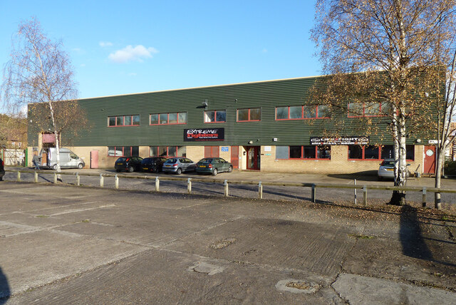
Image: © Robin Webster Taken: 16 Nov 2010
One of a handful of buildings in a small supposedly industrial area. At least 2/3 of the building is devoted to mixed martial arts and what could be boxing. This area has since been redeveloped for housing.
Images are licensed for reuse under creativecommons.org/licenses/by-sa/2.0
Image Location
Latitude
51.252862
Longitude
-0.15333