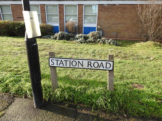
Station Road sign, Southwold
Introduction
The photograph on this page of Station Road sign, Southwold by Adrian S Pye as part of the Geograph project.
The Geograph project started in 2005 with the aim of publishing, organising and preserving representative images for every square kilometre of Great Britain, Ireland and the Isle of Man.
There are currently over 7.5m images from over 14,400 individuals and you can help contribute to the project by visiting https://www.geograph.org.uk

Image: © Adrian S Pye Taken: 2 Jan 2023
The sign is witness to the Southwold Railway Station, which once stood behind the former Police Station (in the background) a Fire Station was also built on the goods yard, but that too has since been demolished. The Railway (a narrow three feet gauge) opened on 24th September 1879 and ran for almost 50 years, closing on April 11th 1929, although the abandonment order was applied for and, extraordinarily, was not granted until the 1990s. There was a 16 miles per hour speed restriction and the expected journey time for the 8¾ miles was usually 35 minutes. Details respectfully borrowed from the Southwold Railway Trust website https://www.southwoldrailway.co.uk A short EAFA film can be seen here http://eafa.org.uk/work/?id=1489 some filmed on the day of the closure

