Southwold from near the Blyth bridge
Introduction
The photograph on this page of Southwold from near the Blyth bridge by Adrian S Pye as part of the Geograph project.
The Geograph project started in 2005 with the aim of publishing, organising and preserving representative images for every square kilometre of Great Britain, Ireland and the Isle of Man.

There are currently over 7.5m images from over 14,400 individuals and you can help contribute to the project by visiting https://www.geograph.org.uk
Southwold from near the Blyth bridge
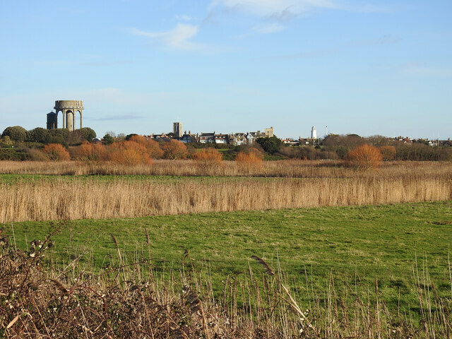
Image: © Adrian S Pye Taken: 2 Jan 2023
Four of the most photographed objects in Southwold all in one image. From left to right the two water towers, St Edmunds' church, The Sacred Heart Catholic church and the lighthouse.
Images are licensed for reuse under creativecommons.org/licenses/by-sa/2.0
Image Location
Latitude
52.327512
Longitude
1.676521