Official and unofficial footpaths, Dennystown
Introduction
The photograph on this page of Official and unofficial footpaths, Dennystown by Richard Vince as part of the Geograph project.
The Geograph project started in 2005 with the aim of publishing, organising and preserving representative images for every square kilometre of Great Britain, Ireland and the Isle of Man.

There are currently over 7.5m images from over 14,400 individuals and you can help contribute to the project by visiting https://www.geograph.org.uk
Official and unofficial footpaths, Dennystown
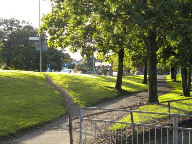
Image: © Richard Vince Taken: 13 Sep 2022
The broad path in the foreground parallels Glasgow Road as far as its junction with Renton Road, a little further on. The narrower, steeper one leads up to Glasgow Road itself, and presumably results from years of people taking a shortcut to and from Dalreoch railway station (out of frame to the right).
Images are licensed for reuse under creativecommons.org/licenses/by-sa/2.0
Image Location
Latitude
55.94731
Longitude
-4.578497