Queen's Park - lake outfall
Introduction
The photograph on this page of Queen's Park - lake outfall by Stephen Craven as part of the Geograph project.
The Geograph project started in 2005 with the aim of publishing, organising and preserving representative images for every square kilometre of Great Britain, Ireland and the Isle of Man.

There are currently over 7.5m images from over 14,400 individuals and you can help contribute to the project by visiting https://www.geograph.org.uk
Queen's Park - lake outfall
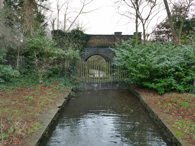
Image: © Stephen Craven Taken: 30 Dec 2022
The park lake was formed from damming the Valley Brook; the outfall drops over a weir, and resumes its course as it flows under Queen's Park Drive.
Images are licensed for reuse under creativecommons.org/licenses/by-sa/2.0
Image Location
Latitude
53.095703
Longitude
-2.465436