Bridgford Hall
Introduction
The photograph on this page of Bridgford Hall by Jonathan Thacker as part of the Geograph project.
The Geograph project started in 2005 with the aim of publishing, organising and preserving representative images for every square kilometre of Great Britain, Ireland and the Isle of Man.

There are currently over 7.5m images from over 14,400 individuals and you can help contribute to the project by visiting https://www.geograph.org.uk
Bridgford Hall
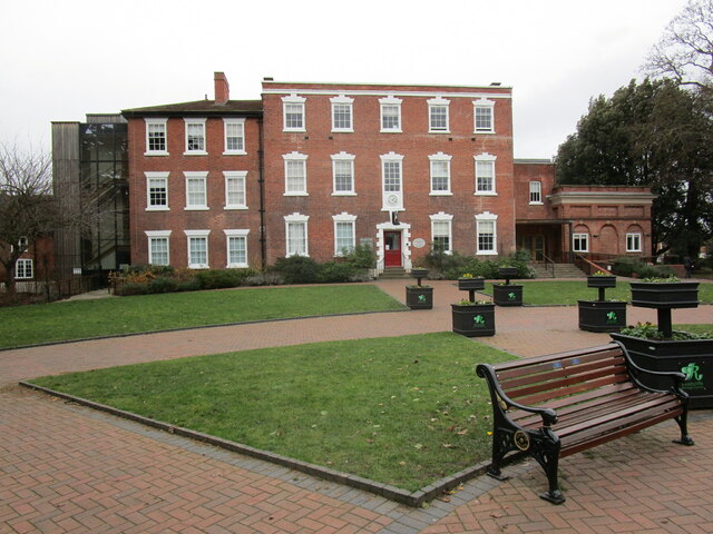
Image: © Jonathan Thacker Taken: 1 Jan 2023
Tye oldest paret dates from 1768 https://historicengland.org.uk/listing/the-list/list-entry/1045676?section=official-list-entry Now Council Offices.
Images are licensed for reuse under creativecommons.org/licenses/by-sa/2.0
Image Location
Latitude
52.933674
Longitude
-1.127229