Rhyl sea wall before demolition
Introduction
The photograph on this page of Rhyl sea wall before demolition by John S Turner as part of the Geograph project.
The Geograph project started in 2005 with the aim of publishing, organising and preserving representative images for every square kilometre of Great Britain, Ireland and the Isle of Man.

There are currently over 7.5m images from over 14,400 individuals and you can help contribute to the project by visiting https://www.geograph.org.uk
Rhyl sea wall before demolition
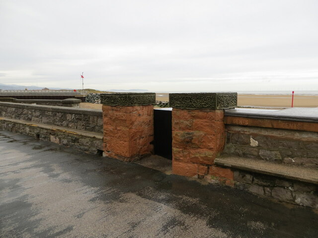
Image: © John S Turner Taken: 1 Nov 2013
The old Rhyl sea wall, which was demolished and rebuilt after 2013. There was an Ordnance Survey benchmark at the base of the right hand gate post: Image
Images are licensed for reuse under creativecommons.org/licenses/by-sa/2.0
Image Location
Latitude
53.316874
Longitude
-3.502772