Balsham: Trinity Close
Introduction
The photograph on this page of Balsham: Trinity Close by John Sutton as part of the Geograph project.
The Geograph project started in 2005 with the aim of publishing, organising and preserving representative images for every square kilometre of Great Britain, Ireland and the Isle of Man.

There are currently over 7.5m images from over 14,400 individuals and you can help contribute to the project by visiting https://www.geograph.org.uk
Balsham: Trinity Close
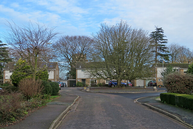
Image: © John Sutton Taken: 1 Jan 2023
A street of late-twentieth-century houses off High Street. The tower of Holy Trinity Church shows through the trees to the left of centre.
Images are licensed for reuse under creativecommons.org/licenses/by-sa/2.0
Image Location
Latitude
52.132075
Longitude
0.317793