View down the village main street in Lanchester
Introduction
The photograph on this page of View down the village main street in Lanchester by Robert Graham as part of the Geograph project.
The Geograph project started in 2005 with the aim of publishing, organising and preserving representative images for every square kilometre of Great Britain, Ireland and the Isle of Man.

There are currently over 7.5m images from over 14,400 individuals and you can help contribute to the project by visiting https://www.geograph.org.uk
View down the village main street in Lanchester
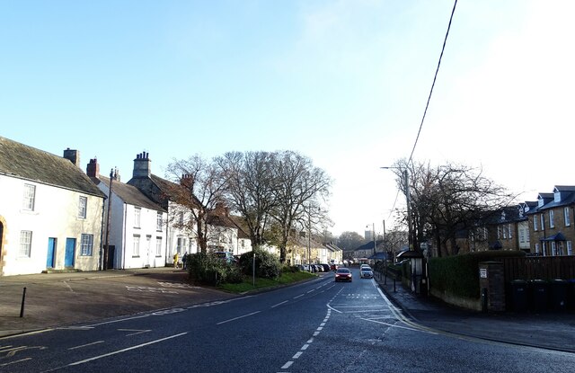
Image: © Robert Graham Taken: 28 Nov 2022
Looking SE along Front Street, with the village church of All Saints in the distance. Many of the buildings on the left date to the 18th century.
Images are licensed for reuse under creativecommons.org/licenses/by-sa/2.0
Image Location
Latitude
54.822525
Longitude
-1.744103