A date for the town's expansion
Introduction
The photograph on this page of A date for the town's expansion by Neil Owen as part of the Geograph project.
The Geograph project started in 2005 with the aim of publishing, organising and preserving representative images for every square kilometre of Great Britain, Ireland and the Isle of Man.

There are currently over 7.5m images from over 14,400 individuals and you can help contribute to the project by visiting https://www.geograph.org.uk
A date for the town's expansion
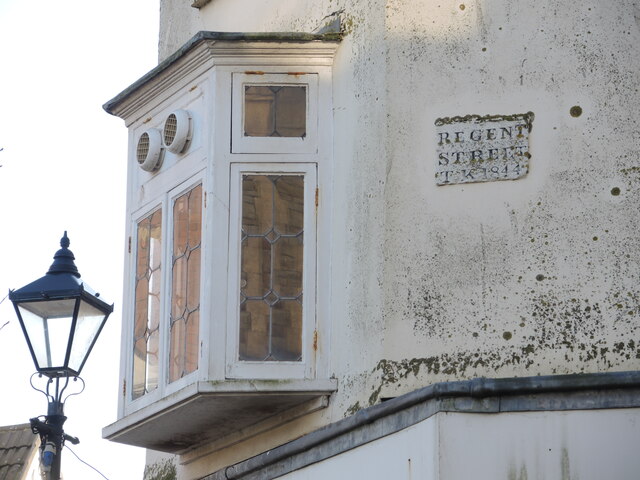
Image: © Neil Owen Taken: 16 Dec 2022
The datestone has been spared and reveals that the street was built in 1844. See Image] for a wider view.
Images are licensed for reuse under creativecommons.org/licenses/by-sa/2.0
Image Location
Latitude
51.237723
Longitude
-2.997634