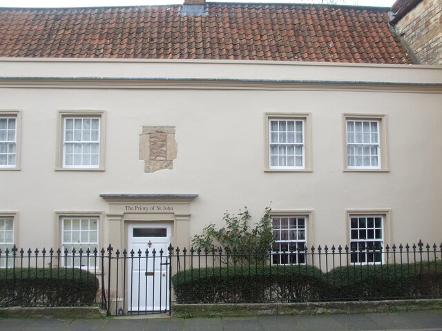
The Priory of St John
Introduction
The photograph on this page of The Priory of St John by Neil Owen as part of the Geograph project.
The Geograph project started in 2005 with the aim of publishing, organising and preserving representative images for every square kilometre of Great Britain, Ireland and the Isle of Man.
There are currently over 7.5m images from over 14,400 individuals and you can help contribute to the project by visiting https://www.geograph.org.uk

Image: © Neil Owen Taken: 14 Dec 2022
This building can trace its history to the thirteenth century at least and has given the street its name. It was a significant establishment with links to Glastonbury Abbey, initially beginning as a hospital for the aged and infirm in the early 1200s under Bishop Jocelyn. By 1350 it was made a priory for a prior, chaplain and ten brethren and the whole site appears to have extended much further than the present structure. However, it came to a close in the Dissolution of 1539. Grade I listed.

