Wells Wesleyan
Introduction
The photograph on this page of Wells Wesleyan by Neil Owen as part of the Geograph project.
The Geograph project started in 2005 with the aim of publishing, organising and preserving representative images for every square kilometre of Great Britain, Ireland and the Isle of Man.

There are currently over 7.5m images from over 14,400 individuals and you can help contribute to the project by visiting https://www.geograph.org.uk
Wells Wesleyan
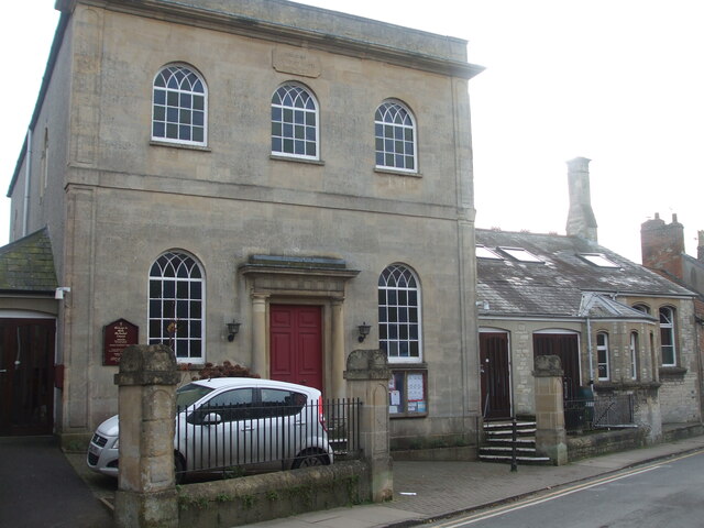
Image: © Neil Owen Taken: 14 Dec 2022
The church was enlarged in 1865 and 1878, along with the adjoining Sunday school. It occupies the site of the former chapel of St Thomas the Martyr.
Images are licensed for reuse under creativecommons.org/licenses/by-sa/2.0
Image Location


Leaflet Map data © OpenStreetMap
Latitude
51.205923
Longitude
-2.647958