Church Road/Wild Oak Lane
Introduction
The photograph on this page of Church Road/Wild Oak Lane by Ian Capper as part of the Geograph project.
The Geograph project started in 2005 with the aim of publishing, organising and preserving representative images for every square kilometre of Great Britain, Ireland and the Isle of Man.

There are currently over 7.5m images from over 14,400 individuals and you can help contribute to the project by visiting https://www.geograph.org.uk
Church Road/Wild Oak Lane
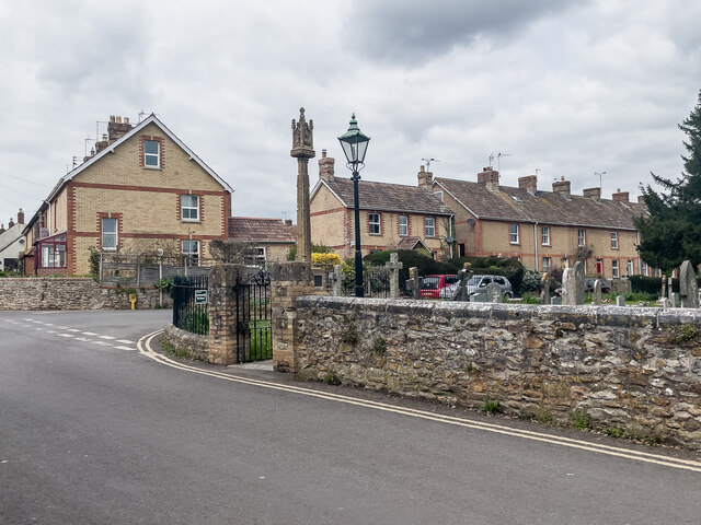
Image: © Ian Capper Taken: 14 Apr 2022
Junction of Church Road and Wild Oak Lane with the corner of All Saint's Churchyard in the foreground. In the centre of the photo is Trull War Memorial, unveiled on 19 September 1920 and grade II listed - see https://historicengland.org.uk/listing/the-list/list-entry/1434658?section=official-list-entry. The houses in the background are marked on the 1887 6 inch map.
Images are licensed for reuse under creativecommons.org/licenses/by-sa/2.0
Image Location
Latitude
50.993949
Longitude
-3.118789