A short walk around Littleton Panell [1]
Introduction
The photograph on this page of A short walk around Littleton Panell [1] by Michael Dibb as part of the Geograph project.
The Geograph project started in 2005 with the aim of publishing, organising and preserving representative images for every square kilometre of Great Britain, Ireland and the Isle of Man.

There are currently over 7.5m images from over 14,400 individuals and you can help contribute to the project by visiting https://www.geograph.org.uk
A short walk around Littleton Panell [1]
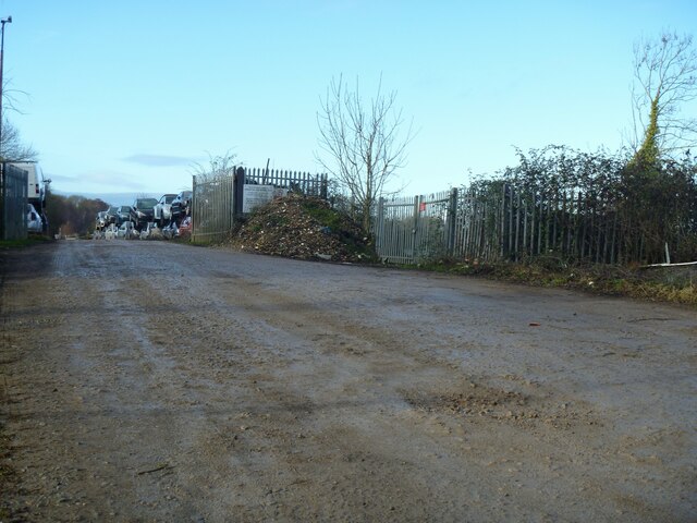
Image: © Michael Dibb Taken: 21 Dec 2022
A car breakers yard now occupies the site of the former Lavington railway station on the Reading to Taunton line. The station opening in 1900 and closed in 1966. Back in the 1920s and 1930s, the Great Western Railway ran weekend excursion trains to Lavington. The trains were met by a fleet of coaches – charabanc style – which took the travellers on to Stonehenge. Starting from the former Lavington railway station on the Reading to Taunton line, the walk heads south along the A360 road, which becomes Littleton Panell High Street. Turning northeast, the route is along Russell Mill Lane and the ensuing bridleway to Spin Hill. From the junction of Spin Hill and Ledge Hill, a bridleway leads back to the A360 road, which is then followed northwards to the starting point. Just over 2½ miles.
Images are licensed for reuse under creativecommons.org/licenses/by-sa/2.0
Image Location
Latitude
51.291881
Longitude
-2.009415