Wells Road in Penn, Wolverhampton
Introduction
The photograph on this page of Wells Road in Penn, Wolverhampton by Roger Kidd as part of the Geograph project.
The Geograph project started in 2005 with the aim of publishing, organising and preserving representative images for every square kilometre of Great Britain, Ireland and the Isle of Man.

There are currently over 7.5m images from over 14,400 individuals and you can help contribute to the project by visiting https://www.geograph.org.uk
Wells Road in Penn, Wolverhampton
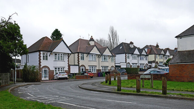
Image: © Roger Kidd Taken: 25 Dec 2022
Looking south-east, Linton Road transforms into Wells Road. There is a footpath off to the left leading to Windsor Avenue. The playing fields are behind the camera.
Images are licensed for reuse under creativecommons.org/licenses/by-sa/2.0
Image Location
Latitude
52.564607
Longitude
-2.155595