Ghyll Cottage, Swing Gate Hill
Introduction
The photograph on this page of Ghyll Cottage, Swing Gate Hill by Simon Carey as part of the Geograph project.
The Geograph project started in 2005 with the aim of publishing, organising and preserving representative images for every square kilometre of Great Britain, Ireland and the Isle of Man.

There are currently over 7.5m images from over 14,400 individuals and you can help contribute to the project by visiting https://www.geograph.org.uk
Ghyll Cottage, Swing Gate Hill
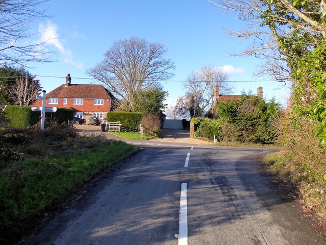
Image: © Simon Carey Taken: 26 Dec 2022
The house on the left was built after the Second World War. The roof of Peartree Cottage is visible on the right and is much older. Viewed from the junction with Spring Lane.
Images are licensed for reuse under creativecommons.org/licenses/by-sa/2.0
Image Location
Latitude
51.006092
Longitude
0.343177