Burwash 13 Public Footpath
Introduction
The photograph on this page of Burwash 13 Public Footpath by Simon Carey as part of the Geograph project.
The Geograph project started in 2005 with the aim of publishing, organising and preserving representative images for every square kilometre of Great Britain, Ireland and the Isle of Man.

There are currently over 7.5m images from over 14,400 individuals and you can help contribute to the project by visiting https://www.geograph.org.uk
Burwash 13 Public Footpath
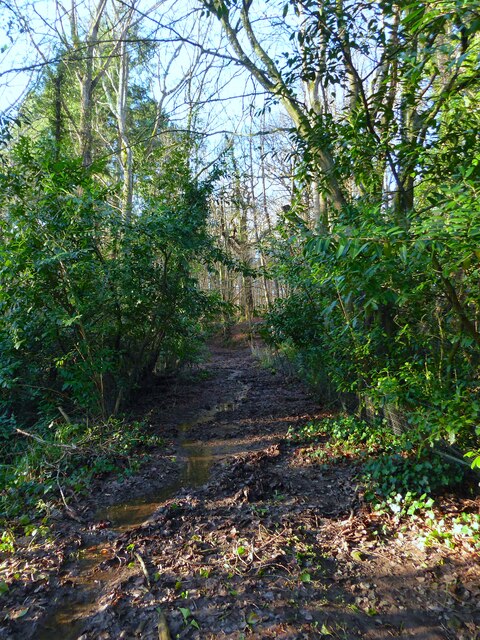
Image: © Simon Carey Taken: 26 Dec 2022
Leaving Spring Lane at Holton Hill then rejoining it further to west. Here it crosses an unnamed tributary of the River Rother and provideds the boundary between Coalpit Wood to the north and Church Wood to the south.
Images are licensed for reuse under creativecommons.org/licenses/by-sa/2.0
Image Location
Latitude
51.003648
Longitude
0.352889