Pathways at the edge of the housing
Introduction
The photograph on this page of Pathways at the edge of the housing by Neil Owen as part of the Geograph project.
The Geograph project started in 2005 with the aim of publishing, organising and preserving representative images for every square kilometre of Great Britain, Ireland and the Isle of Man.

There are currently over 7.5m images from over 14,400 individuals and you can help contribute to the project by visiting https://www.geograph.org.uk
Pathways at the edge of the housing
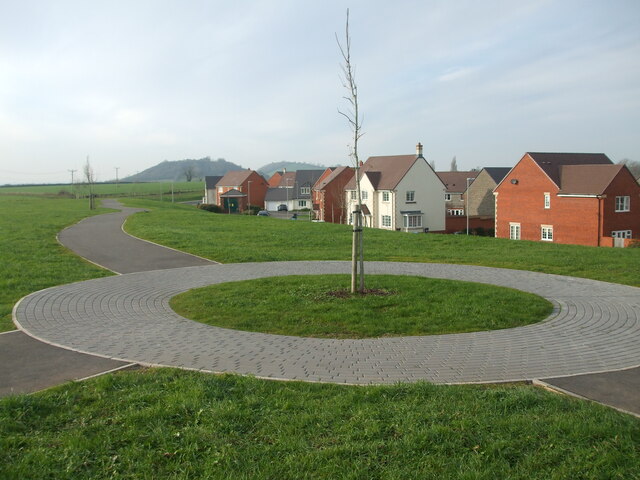
Image: © Neil Owen Taken: 14 Dec 2022
This part of Wells used to be home to a large Cow and Gate dairy factory before being redeveloped into housing. The edge of the estate is bounded by Gate Lane and some landscaped tree-planting. Ben Knowle hill lies in the distance.
Images are licensed for reuse under creativecommons.org/licenses/by-sa/2.0
Image Location
Latitude
51.199699
Longitude
-2.651449