Nidderdale, track from Scar House reservoir to Middlesmoor
Introduction
The photograph on this page of Nidderdale, track from Scar House reservoir to Middlesmoor by Mel Towler as part of the Geograph project.
The Geograph project started in 2005 with the aim of publishing, organising and preserving representative images for every square kilometre of Great Britain, Ireland and the Isle of Man.

There are currently over 7.5m images from over 14,400 individuals and you can help contribute to the project by visiting https://www.geograph.org.uk
Nidderdale, track from Scar House reservoir to Middlesmoor
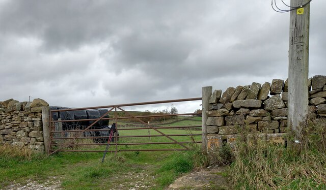
Image: © Mel Towler Taken: 31 Oct 2022
According to the OS benchmark database there in a gatepost with a cutmark at this location. The stone gateposts have been replaced by wooden ones.
Images are licensed for reuse under creativecommons.org/licenses/by-sa/2.0
Image Location


Leaflet Map data © OpenStreetMap
Latitude
54.165324
Longitude
-1.862887