Nidderdale, track from Scar House reservoir to Middlesmoor
Introduction
The photograph on this page of Nidderdale, track from Scar House reservoir to Middlesmoor by Mel Towler as part of the Geograph project.
The Geograph project started in 2005 with the aim of publishing, organising and preserving representative images for every square kilometre of Great Britain, Ireland and the Isle of Man.

There are currently over 7.5m images from over 14,400 individuals and you can help contribute to the project by visiting https://www.geograph.org.uk
Nidderdale, track from Scar House reservoir to Middlesmoor
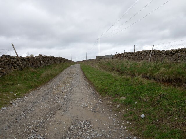
Image: © Mel Towler Taken: 31 Oct 2022
According to the OS benchmark database there is a pivot benchmark cut into the wall on the east side of the track, beyond the ditch. Nothing was found.
Images are licensed for reuse under creativecommons.org/licenses/by-sa/2.0
Image Location


Leaflet Map data © OpenStreetMap
Latitude
54.166495
Longitude
-1.864875